Geofencing for Fleet Control: GPS Zones That Work
Geofencing is probably the most underused GPS feature in fleet management. Most companies set up their headquarters as a geofence, get overwhelmed by entry/exit alerts for 30 vehicles, turn off notifications, and never touch it again. That's doing it wrong. Here's how to use geofencing in a way that actually reduces problems instead of creating them.
What Geofencing Actually Is (30 Seconds)
A geofence is a virtual boundary drawn on a map. When a GPS-tracked vehicle enters or exits that boundary, the system triggers an action: an alert, a log entry, a notification to a dispatcher. That's it. The concept is simple. The power is in how you configure it.
Geofences can be any shape: circles (defined by center point and radius), polygons (custom shapes that follow property lines, city limits, or route corridors), or routes (corridor geofences that flag when a vehicle deviates from a defined path). Most fleet platforms support all three types.
The technology behind it is just math. Every time the GPS device reports a position, the server checks whether that position falls inside or outside each active geofence. If the state changed (was outside, now inside, or vice versa), an event fires. Processing time is milliseconds, so alerts arrive essentially in real time.
Use Cases That Actually Work
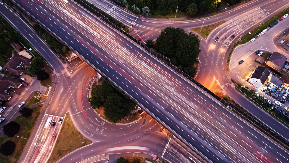
The route corridor approach is particularly powerful for Peruvian freight operations. On the Lima-Huancayo route, for example, there are only a few possible roads. A vehicle that deviates from the corridor is either lost, broken down, or being used for something unauthorized. The alert gives you actionable information immediately.
- Client site geofences: Know exactly when your truck arrives and departs from each delivery point. Automate arrival notifications to clients.
- High-risk zone alerts: Define geofences around areas with high theft rates (specific districts in Lima, remote highway segments). Get alerts when vehicles enter these zones after hours.
- Route corridor monitoring: Create a 500m-wide corridor along the approved route. Any vehicle that exits the corridor triggers a deviation alert.
- Fuel station geofences: Track every fuel stop. Cross-reference with fuel card data to detect discrepancies.
- City limits / state lines: Know when vehicles cross jurisdictional boundaries for compliance and billing purposes.
- Restricted hours: Combine geofences with time schedules. Vehicle at HQ during business hours = normal. Vehicle leaving HQ at 2am = theft alert.
Setting Up Geofences: Practical Tips
The number one mistake is creating too many geofences with alerts for every event. A fleet of 30 vehicles with 20 geofences each, all alerting on entry and exit, generates hundreds of notifications per day. Nobody reads them. The system becomes noise.
Start with 3-5 high-value geofences: your base/warehouse, your top 3-5 client locations, and one high-risk zone. Configure alerts only for events that require action. A vehicle leaving the warehouse at 6am is expected and needs no alert. A vehicle leaving the warehouse at midnight needs immediate attention. Use time-based rules.
Size your geofences correctly. Too small and GPS accuracy noise triggers false alerts. A geofence with a 50-meter radius will fire false entry/exit events when the vehicle is parked at the boundary because GPS positions naturally scatter by 5-10 meters. Minimum recommended radius is 100-150 meters for stationary geofences. Route corridors should be 300-500 meters wide to account for GPS drift and legitimate lane variations.
Pro tip: start with email alerts, not SMS or push notifications. Review the email alerts for two weeks to understand the pattern before switching to real-time push. This prevents alert fatigue from killing the feature before it proves its value.
Geofencing for Security: The After-Hours Protocol
The highest-value geofencing application for fleets in Peru is after-hours movement detection. Vehicle theft happens overwhelmingly between 10pm and 5am. A geofence that alerts you when any vehicle leaves your facility during those hours is your first line of defense.
Configure it with escalation: first alert goes to the dispatcher's phone, second alert (if no response in 5 minutes) goes to the fleet manager, third alert triggers the engine cut sequence. This automated escalation turns geofencing from a passive monitoring tool into an active security system.
Combine after-hours geofencing with ignition alerts. If a vehicle's ignition turns on inside your facility at 3am, you want to know about it regardless of whether it crosses the geofence boundary. The geofence catches the movement. The ignition alert catches the attempt. Together, they cover the scenario completely.
FAQ
Smart Geofencing for Your Fleet
Real-time zone alerts, route monitoring, and after-hours security. Set up in minutes.
Get Free Quote